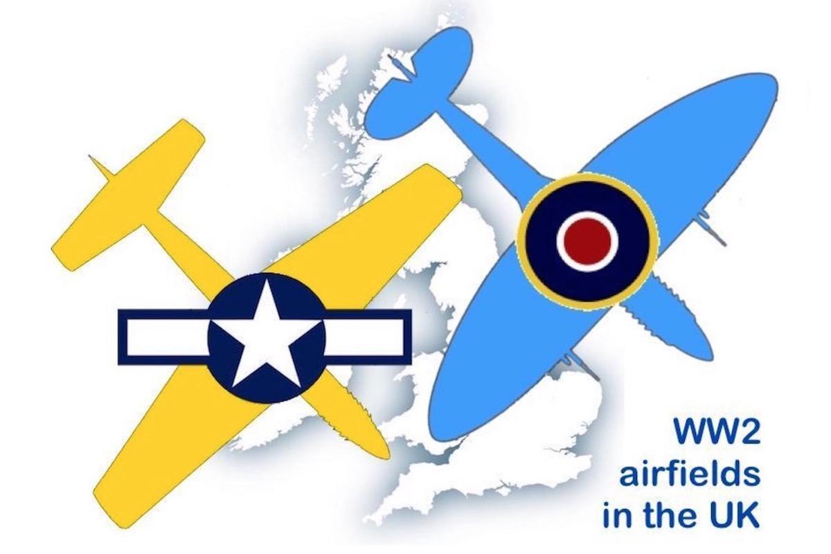
Map of WW2 operational airfields in the UK
Read the story behind this map and visit any of the operational WW2 UK RAF and USAAF airfields
Introduction
This Google Map of the 'WW2 UK operational airfields' has been compiled in order to help those who are researching the role of Allied Air Forces in the colossal effort of defending and fighting for these islands in the 1940s. It also helps keep alive the memory of those thousands of airmen who lost their lives in the Allied cause.
To those researchers who wish to follow up and see something even more tangible, the Imperial War Museum and the American Air Museum at Duxford are worth a visit as they contain records and aircraft from those dangerous days.
This link will take you for the full story of the project.
There, we will be adding links to museums where WW2 aircraft can be seen.
Rotary Club of Cambridge
May 2019
Map and database
Click this link to open the map in a new window
The coloured dots indicate which Air Forces used each airfield:
Blue - RAF
Yellow - USAAF
Green - RAF and USAAF
The database used to compile the map is available for airfield research - Click Here to view or download
Acknowledgements
We have used a variety of sources to compile this information and we are grateful to the following invaluable sources for providing confirmation and reassurance.
East of England Tourist Board USAAF Airfields. Official Map.
The Squadrons of the Royal Air Force. James J Halley. Air Britain.
Airfields of the Eighth, Then and Now. R A Freeman. After the Battle.
UK Airfields of the Ninth, Then and Now. R A Freeman. After the Battle.
World War 2 Airfields. P Birtles. Ian Allan
Airfields of Britain Conservation Trust http://www.abct.org.uk/
Air of Authority - A History of RAF Organisations http://www.rafweb.org/
Disclaimer
A major component of this database and map has been the establishment of the exact location of all the airfields listed and the individual squadrons based there during the WW2 years.
This has been done with the considerable help of Google Earth and any errors are ours entirely.
Please contact us should you find any error that has been made.
Visiting Rotarians
Visiting Rotarians might like to make contact with Rotary clubs in District 1080 which covers most of East Anglia by clicking this link
Rotary GB&I and the clubs in the whole of the UK can be reached by clicking this link
Map of WW2 operational airfields in the UK sub-pages:

WW2 Airfield: The Full Story
more Here is the background to the Google Map of the 460 operational airfields used by the RAF and the USAAF during the Second World War 1939 to 1945

WW2 operational airfield correspondence
more Copies of correspondence following an enquiry about the WW2 airfield map