July 11 2013 Eve Boyle - Scotland's Rural Past
Thu, Jul 11th 2013 at 12:00 am - 12:00 am
Eve Boyle from the Royal Commission on the Ancient and Historical Monuments of Scotland gave a talk entitled 'Scotland's Rural Past'
Scotland's Rural Past lives on today
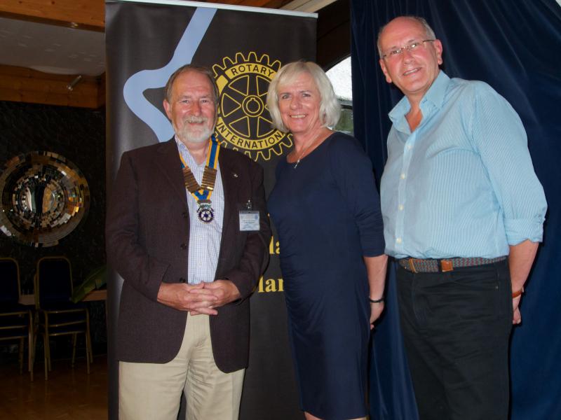
Archaeologist Eve Boyle took members of the Bridge of Allan & Dunblane Rotary Club on a fascinating and lively pictorial journey through some of Scotland's rural past at the club's meeting on Thursday evening.
Eve works for the Royal Commission on the Ancient and Historical Monuments of Scotland in the Highlands and explained its aim is to encourage communities to actively engage and record projects relating to ancient monuments within their locality - offering relevant training.
"There is a historical dimension in everything we see," she said, "much of the agricultural patchwork landscape is entirely the creation of 18th century agriculturalists between 1750 and 1850. Farmers were granted longer leases and were able to work for themselves, introducing new crops and farm buildings that increased yields and profits. Every field boundary is there for a reason and tells its own story," she said.
She also charted the development of cultivation, which underwent a revolution around 1000AD with the introduction of the heavy plough, usually pulled by eight oxen that made tilling heavy soils far more efficient and quicker. "It was the single most significant factor that saw the rise of the Germanic kingdoms in West and Northern Europe," she said.
Thanks to modern technology like Google Earth, all kinds of ancient buildings and field layouts are continually being identified, for example at The Bows, Braes of Doune, there is a 75-feet turf building which has yet to be excavated and at Cornton, Stirling the road layout is entirely due to medieval ploughing technology. "There are the ruins of a settlement at Cladachbeag, Inversnaid that is still evident even though the area has been wooded over."
Old maps also provide vital clues, including Roy's Military Survey that was drawn up over an eight-year period following the Battle of Culloden in 1746. Known as the Great Map, it charted every settlement, river and crossing throughout the Scottish mainland and its chief surveyor William Roy had a crucial influence on the early work of the Ordnance Survey. Lawrie Orr gave the vote of thanks.