27 November 2014 Juliet Chadwin - Harvey Maps
Thu, Nov 27th 2014 at 12:00 am - 2:00 am
Juliet Chadwin from Harvey Maps based in Doune gave a talk to the club on the history of Harvey Maps and the map making processes.
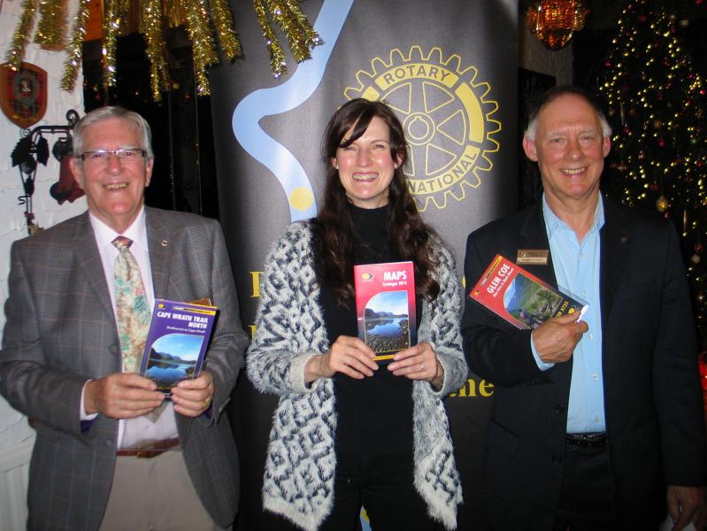
President Nominee Nick Rawlings chaired last week's meeting and welcomed members and guest speaker, Juliet Chadwin.
Juliet has been with Harvey Maps, based in Doune, for 28 years and her talk was about the process of making maps and the particular appeal of Harvey's maps for outdoor and adventure use.
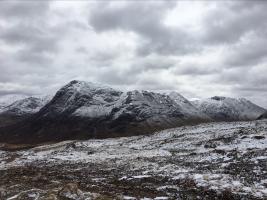
The business was started in 1977 by Robin and Susan Harvey who, as keen orienteers, found that existing maps were inadequate for their purposes so they decided to make their own. A key feature, as well as being clear and easy to read, was that the maps had to be light to carry and waterproof.
Juliet explained that most mapmakers use OS information to create maps and that Harveys are one of only a few who make theirs from scratch. In the early days of the business, aerial photographs were carefully set up on a base then using 3D photogrammetry, base maps were created then layers were built up to show specific features such as paths, contours, vegetation and so on. They do not include things that are of no use to an outdoor user, such as parish boundaries.
Nowadays, the painstaking manual process has been overtaken by use of computers; Juliet recalls the frustration of the early days when, having set up the photos for tracing, a heavy lorry passing on the main road would be enough to disturb the equipment which then had to be reset.
All maps are checked on the ground by their own cartographers who will add in any useful features or updated information not shown on the aerial photos. As well as maps for walking, running and cycling, Harvey also produce maps made to order, atlases for national parks and, in collaboration with others, have maps for hiking and safaris in Africa, Greenland and Canada. More information is on their website: www.harveymaps.co.uk
After fielding a wide range of questions from the floor, Bob Watson thanked Juliet for a very interesting talk.